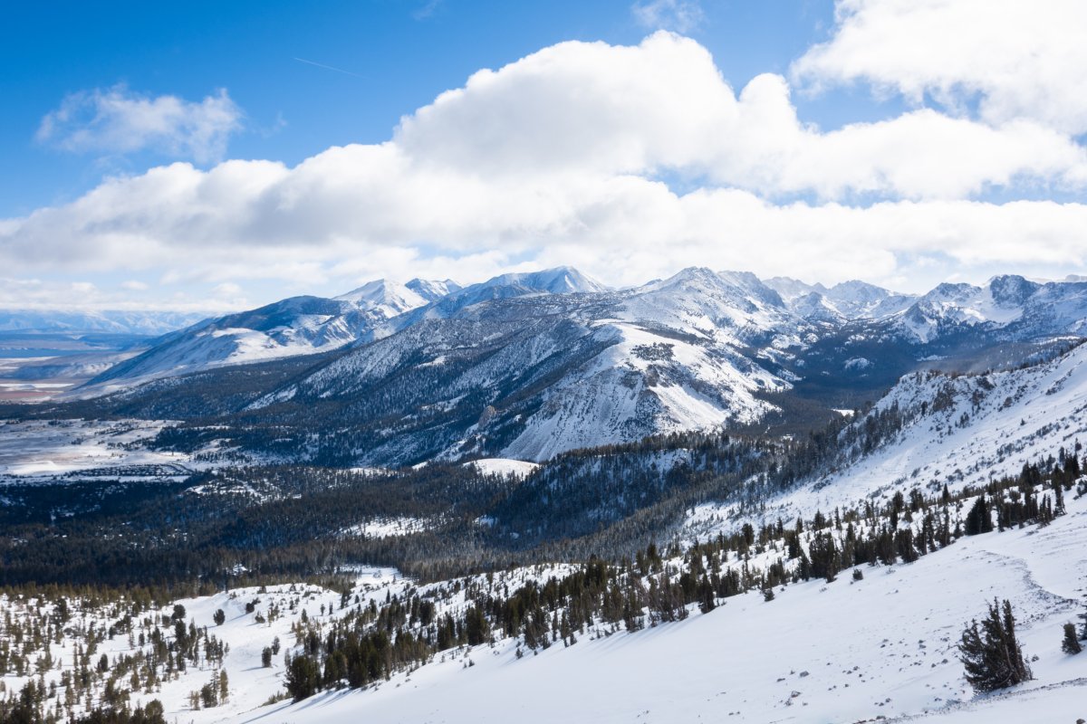
California's Department of Water Resources (DWR) on Monday provided an update on the state's snowpack levels and warned that with a dry forecast ahead, the marks could stay below normal during a critical time of year for California's water supply.
Newsweek reached out to the DWR via email for comment.
Why It Matters
The Sierra Nevada snowpack provides around 30 percent of California's water needs. In the spring, the snow melts and supplements local rivers and reservoirs to carry them through the dry summer months.
For the past two years, the snowpack has been above average, which has helped relieve a yearslong drought that has plagued the Golden State. Much of the winter snow in 2023 and 2024 came from atmospheric rivers that brought heavy snow to mountainous regions. But this winter hasn't been as prolific when it comes to snow-producing storms, sparking concerns that another dry summer might stress the state's water supply.
What To Know
In a post made to X on Monday, the DWR said California's snowpack is 88 percent of average for this time of year, and only 73 percent of average for the April 1 amount, which is the final measurement of the season.

An abnormally dry January across much of California contributed to the below-average levels. Since the state gets half its yearly precipitation from December through February, officials are concerned the snowpack will measure below normal once spring arrives.
A graph included with the DWR's post showed that snowpack levels nearly plateaued during January. Meanwhile, drought that began creeping across Southern California earlier this winter has started to improve, according to the most recent U.S. Drought Monitor Map.
Winter storms that bring snow to the mountains typically begin to taper off in March, the DWR said, spurring concerns that the state's snowpack might not catch up to where it needs to be by April.
But the National Weather Service (NWS) Climate Prediction Center anticipates that California will have below-normal temperatures and above-average precipitation through March 10, according to the eight- to 14-day outlooks, which could help improve the snowpack.
What People Are Saying
DWR in a post to X: "With California missing out on rain and snow in January, we had a long way to make up that dry month, especially since half of California's precipitation comes from just the months of December, January, and February. So, did February's storms catch us back up? Unfortunately, not quite. While California's snowpack is at 88% of average today, there's a lot of dry weather in the forecast the rest of this month. That means that number will keep dropping every day until we see more winter storms – which historically begin to taper off in March. The likelihood California's snowpack will be below average on April 1st increases every day it's dry."
What Happens Next
The Golden State also is expecting slightly above-average precipitation through March 21, according to the NWS Climate Prediction Center, though forecasts that extend further can be uncertain.


 English (US) ·