Much of the southern Plains and Southwest are on high alert today as conditions are ripe for wildfires to start and spread across the region.
"The combination of abnormally high temperatures and strong winds will support widespread elevation to critical fire-weather conditions," the National Weather Service said in its fire weather outlook on Monday.
Red Flag Warnings—a type of weather warning issued by the NWS for areas where extra caution must be taken to avoid wildfires—are also in place for much of Oklahoma, portions of Northern Texas, southeast Colorado and Kansas.
Speaking to Newsweek, NWS meteorologist Robb Lawson said that conditions for fires are expected to last through today and into tomorrow as winds gusting 50 miles per hour rip through the region.
"Most of tomorrow, we don't have any red flag warning in place like we have today, mainly just because moisture is going to be a little higher tomorrow," he said.
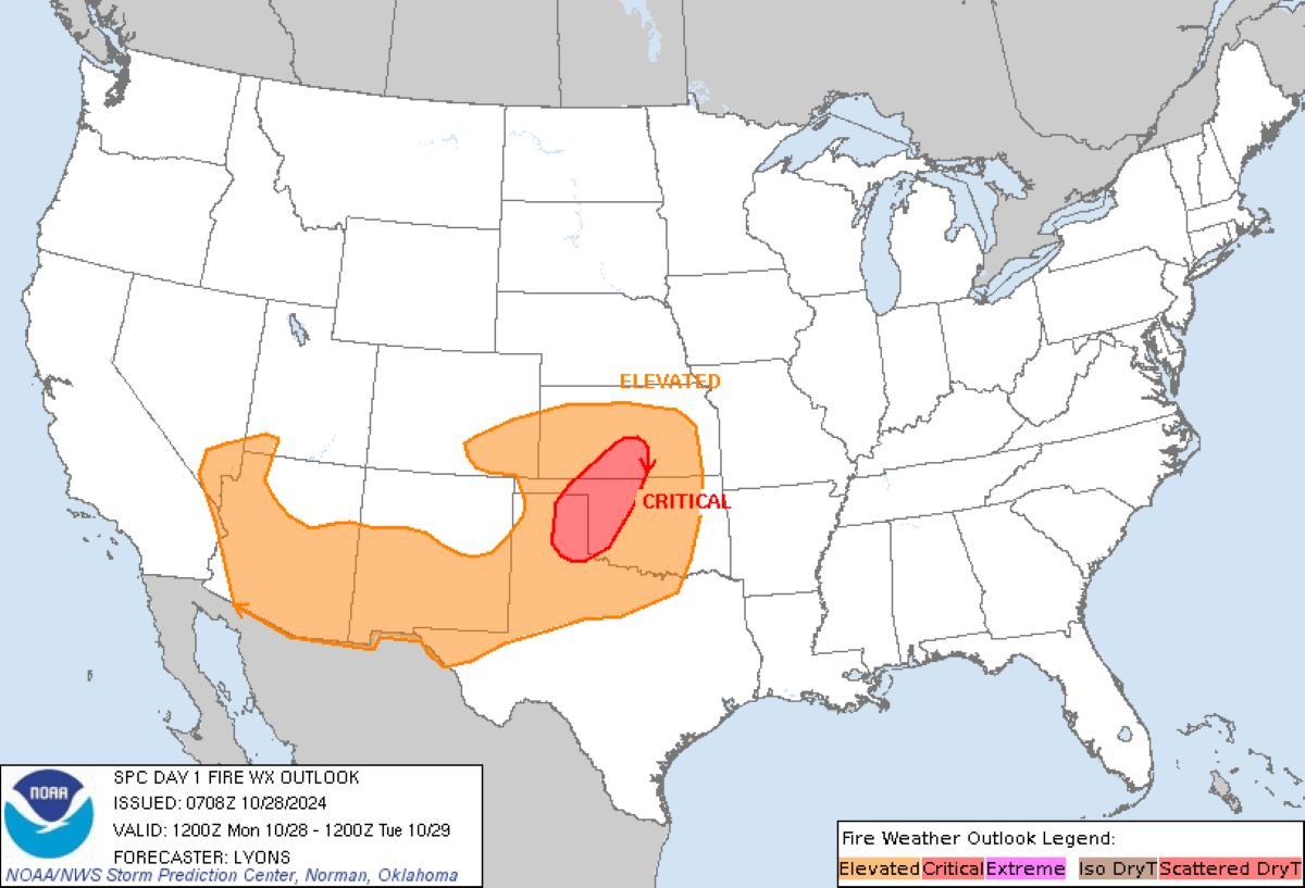
According to the NWS, a corridor of low relative humidity and high winds is expected to overlap and will form across the eastern Texas Panhandle, western Oklahoma and southern Kansas. Dry fuel on the ground could ignite quickly.
Lawson advised people in affected areas to avoid all outdoor burning, such as campfires, for the next couple of days. People should also exercise caution when disposing of cigarette butts.
Where burning is required, the NWS urges people never to leave them unattended and to extinguish flames properly by drowning them in water and stirring to ensure everything is cold to the touch.
"Sparks or embers can blow into leaves or grass, ignite a fire, and quickly spread," the NWS said on its website.
Dozens of record-high temperatures from Texas to Minnesota are expected over the next 48 hours, adding to the propensity for fires.
Fires also need fuel to burn, which has been created by abnormally dry conditions lately. According to the United States Drought Monitor, every state in the U.S. is experiencing abnormally dry or drought conditions in some regions.
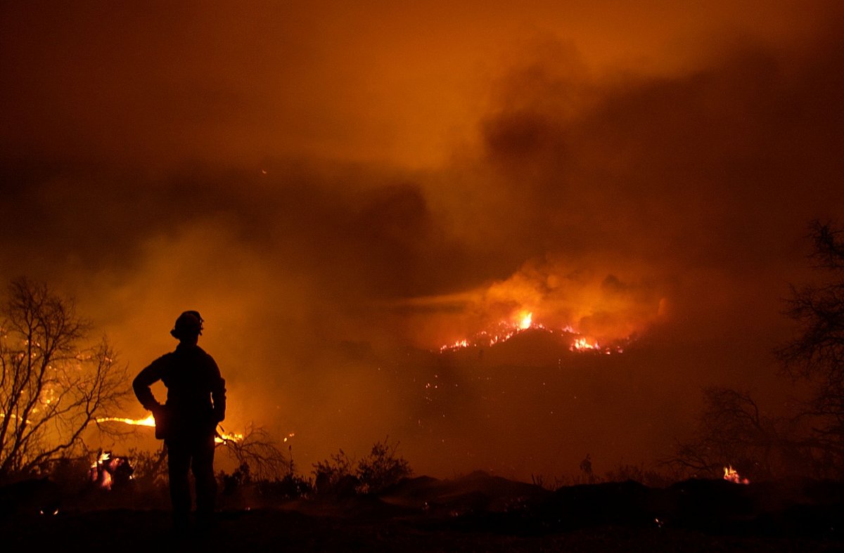
The risk also extends into the Southwest and Great Basin.
"Near the base of the upper trough, strong southwesterly flow is expected ahead of a cold front across the southern Great Basin and the Southwest," the NWS said.
"Downslope flow and warm temperatures will support relative humidity values of 15-20 percent as surface winds increase to 15-20 mph."
These conditions will produce elevated fire risks across the region—the level below critical.
Do you have a tip on a science story that Newsweek should be covering? Do you have a question about wildfires? Let us know via science@newsweek.com.




.png)




 English (US) ·