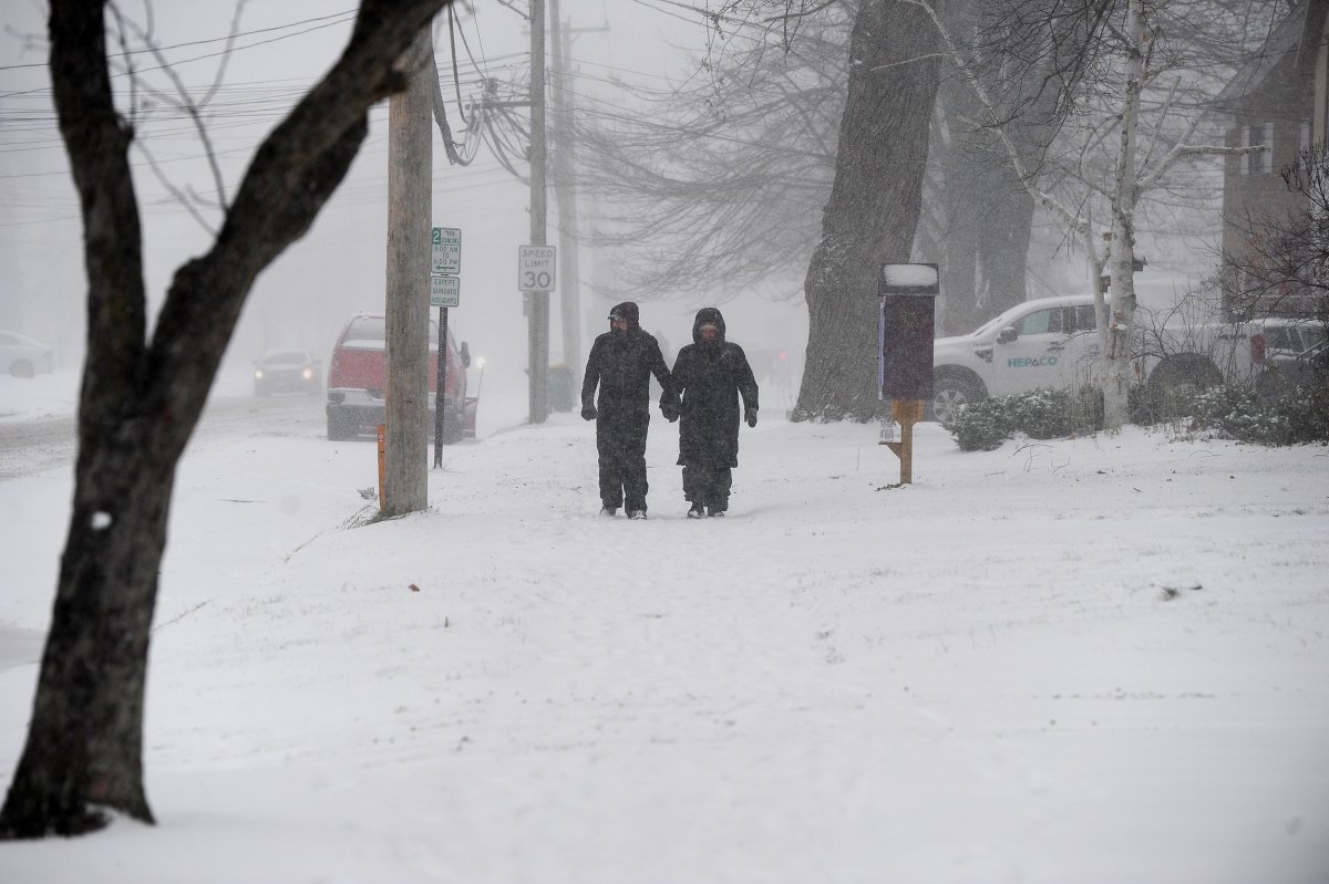
Portions of New York and Pennsylvania are under a lake-effect snow warning on Tuesday as "heavy" accumulations up to a foot may be possible in certain areas, the National Weather Service warns.
Newsweek reached out to the NWS via email for comment.
Why It Matters
The NWS says that travel for the impacted regions may be difficult and could impact commutes to and from work. As a precaution, travelers are urged to keep food, water, and a flashlight in their vehicle "in case of an emergency."
What To Know
New York
The lake-effect warning is for Wyoming, Chautauqua, Cattaraugus, and southern Erie Counties in New York. The heaviest snow accumulations in these areas will be in Boston Hills, ridges of western Wyoming County and the Chautauqua Ridge.
The eastern Lake Ontario region, northern Herkimer County, and northern Oneida County are also under the warning. The NWS notes that "the greatest additional snowfall will be across Oswego and southwest Lewis counties."
Pennsylvania
Northern and southern regions of Erie County are under a lake-effect snow warning. The warning is in effect until 1 a.m. ET on Thursday. The NWS says that the heaviest snow is expected in the northern part of the county, as one to two inches of snowfall per hour may be possible.
"Winds gusting as high as 35 mph Tuesday afternoon near the lakeshore" is also possible, according to the NWS alert.
What People Are Saying
NWS Cleveland, Tuesday on X, formerly Twitter: "Subzero wind chills are being felt across the area this morning & are expected to stick around through Wednesday night. In addition, another round of lake effect will impact portions of the primary snowbelt through Wednesday with highest totals expected across NW PA. #ohwx #pawx."
NWS Albany, on X: "Lake effect snowfall continues today through tonight across the western Adirondacks where Winter Headlines continue with a Lake Effect Snow Warning for northern Herkimer County, especially along and north of Old Forge and Route 28 where 6-10" is possible. #nywx #vtwx"

Meteorologist Andy Parker, in a video on X: "Someone asked me what driving through a lake snow band was like...Here's my answer.
"Driving through a lake-effect snow band feels like stepping into a live-action snow globe on overdrive. The air churns with oversize snowflakes swirling like confetti in a winter storm party, obscuring everything beyond a few feet ahead. The wind howls as bursts of snow shroud your car, turning the road into a vanishing act of whitewashed uncertainty.
"Each gust and flurry teases your nerves as you grip the wheel with the intensity of someone braving an arctic obstacle course. It's a mix of awe and adrenaline, where every mile feels like conquering a frosty battlefield."
What Happens Next
The warnings will be over by the early hours of Thursday morning.


 English (US) ·