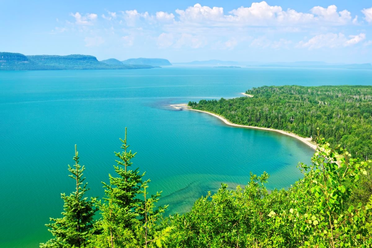
The Great Lakes owe their existence to a hotspot that was active hundreds of millions of years ago, according to new research.
This Cape Verde hotspot currently sits beneath the island nation in the Central Atlantic Ocean. However, 300 million years ago, it was located under what would become North America during the era of the supercontinent Pangaea.
The hotspot heated and stretched the Earth's crust, creating a low-lying topography. When glaciers arrived about 20,000 years ago, they scraped out this region and left behind depressions that filled with meltwater as they retreated. Today, these lakes hold about 20 percent of the world's fresh water.
The research was published in the journal Geophysical Research Letters.

Why This Matters
The discovery links ancient mantle activity to the present-day geography of the Great Lakes. It underscores how Earth's internal processes—occurring over millions of years—can shape features that have a profound impact on ecosystems and human life.
How Were the Great Lakes Formed?
The Great Lakes were formed through a combination of geological and glacial processes spanning hundreds of millions of years.
Around 300 to 200 million years ago, the Cape Verde hotspot, a plume of hot material from Earth's mantle, sat beneath the region that would eventually become the Great Lakes. The intense heat and stretching caused by the hotspot thinned the lithosphere, Earth's rigid outer layer, and created a low-lying area in the region.
Much later, during the last ice age around 20,000 years ago, massive glaciers advanced across the landscape, scraping and deepening the low-lying areas left behind by the hotspot.
When the glaciers eventually retreated, they left behind large depressions that filled with meltwater, giving rise to the vast freshwater lakes we know today.
Unlike hotspots that create volcanic islands, such as those in Hawaii, the Cape Verde hotspot's effect on the Great Lakes was more subtle due to the thick, stable lithosphere of the North American continent.
This stability prevented volcanic activity but allowed the hotspot to shape the region's topography, setting the stage for the formation of the lakes during the glacial era.
What Are People Saying?
The authors of the study wrote in the paper: "The plume was under the Great Lakes during 300–200 Ma and probably caused lithosphere thinning and low topography needed for forming the Lakes during the glacial era
"The strong and thick lithosphere of a stable continent makes it difficult for a hot mantle plume to penetrate and form a volcano chain on the surface. Low-velocity thermal anomalies in the upper mantle from the plume materials also fade with time and, therefore, cannot be a reliable feature for detecting an old plume path.
"Our new 3D seismic anisotropy model in northeastern America reveals positive radial-anisotropy anomalies in the eastern Great Lakes, central Pennsylvania, and northwestern Virginia, aligning with the Cape Verde hotspot track."
Do the Great Lakes Freeze?
According to the Environmental Protection Agency, ice cover duration on the Great Lakes has declined significantly since 1973 due to climate change.
The maximum area covered by ice varies from year to year, with some years seeing less than 20 percent coverage and others exceeding 90 percent. However, long-term trends show a decline, especially in Lake Superior.
Ice duration has decreased by up to 46 days per year since the 1970s, with significant reductions observed in Lakes Ontario and Superior.
Do you have a tip on a science story that Newsweek should be covering? Do you have a question about the Great Lakes? Let us know via science@newsweek.com.
Reference
Tao, Z., Li, A., Wu, J., & Fischer, K. M. (2025). Revealing the Cape Verde Hotspot Track Across the Great Lakes. Geophysical Research Letters, 52(1), e2024GL110777. https://doi.org/10.1029/2024GL110777


 English (US) ·