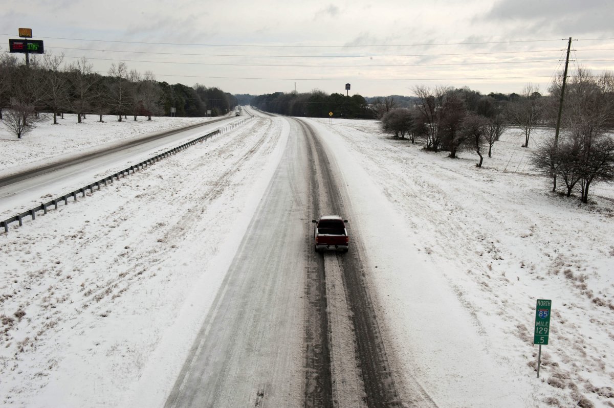
A massive winter storm is set to hit the central and eastern United States this weekend and continue into early next week, spreading snow, ice and freezing rain across a 1,500-mile stretch from the Plains to the Atlantic coast.
Meteorologists warn that the storm will bring dangerously cold temperatures as it makes its way through major cities like St. Louis, Kansas City, Indianapolis, and Philadelphia, before leaving behind a blast of Arctic air that could see the mercury plummet to record lows in Southern states.
Why It Matters
This upcoming storm is expected to be the first widespread winter storm of the season, with potential impacts spanning more than 1,000 miles, making it one of the most significant weather events of the year, according to AccuWeather.
With freezing rain, snow, and ice hitting vulnerable areas like the Gulf Coast and the Northeast, the storm could trigger power outages, hazardous travel, and conditions that are rare for some of these regions.
The cold front following the storm could also break records, with temperatures plunging to some of the lowest levels seen in years.

What To Know
The snowstorm is expected to stretch 1,500 miles, from Nebraska to the Ohio Valley and parts of West Virginia. Significant snow accumulations of 3-6 inches are forecast for much of this area, with heavier snow of 6-12 inches and locally higher amounts likely in the regions between northern Kansas and southern Ohio, per AccuWeather.
The storm could bring up to 30 inches of snow to areas in northern Missouri and west-central Illinois. Cities such as Topeka, Kansas; St. Louis, Missouri; and Indianapolis, Indiana, are expected to see major snowfalls.
In addition to snow, a dangerous ice storm is predicted to affect areas south of the snow zone, from Kansas to Ohio and Tennessee valleys.
Areas like Kansas City, Missouri; Tulsa, Oklahoma; and Springfield, Missouri, may experience substantial ice accumulation, creating hazardous driving conditions, according to AccuWeather meteorologists. The region between southeastern Kansas and central Kentucky is most at risk for this heavy ice.
The storm is expected to impact travel during the weekend of January 4 and 5 and early next week, right before the final days of the holiday break.
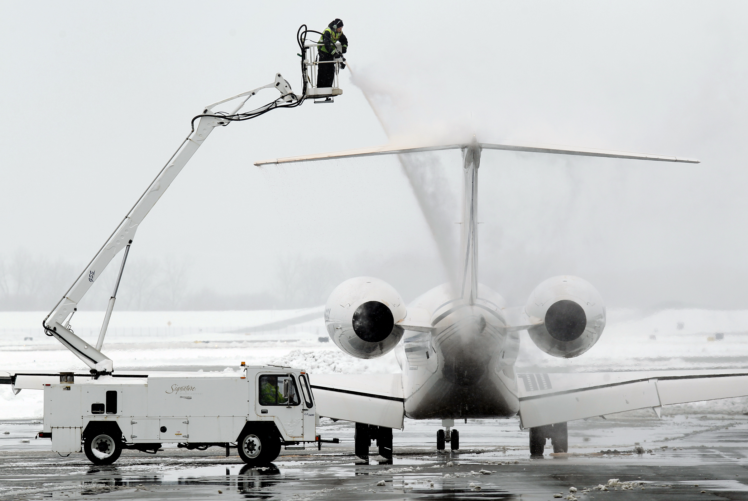
As temperatures plummet, hazardous travel conditions will persist, especially along major highways like Interstate 70. Airport delays and cancellations are likely, with travel warnings already issued in areas most affected by the storm. Road closures due to snow and ice are also a real possibility, especially in the Plains and parts of the Midwest, according to weather.gov.
Once the storm passes, it is predicted to leave behind a surge of Arctic air, with temperatures potentially plummeting to some of the lowest levels in years for Southern states.
These frigid conditions could affect both infrastructure and daily life, with some areas seeing the coldest temperatures in over a decade.
This new storm follows closely behind a series of winter weather systems that have already affected parts of the country, including heavy snow and ice in the Rockies and Plains in late December. These earlier storms served as a precursor to the widespread cold and snow expected to hit next week, which will be the first major cross-country winter event of 2025.
In addition to snow and ice, the storm's track could trigger thunderstorms across parts of the South, particularly in the I-10 and I-20 corridors, AccuWeather reports. Some of these storms could reach severe levels, adding to the already complex weather conditions.
What People Are Saying
Lead Long-Range Expert Paul Pastelok said via AccuWeather: "This could end up being the coldest January since 2011 for the U.S. as a whole."
Long-Range Meteorologist Alex Duffus said via AccuWeather: "The combination of lingering neutral sea surface temperatures in the tropical Pacific, warm water in the northern Pacific, and an atmospheric traffic jam will induce multiple rounds of Arctic air east of the Rockies.
"The pattern creates a persistent southward lunge in the jet stream in eastern North America to allow the frigid air to empty out of the Arctic and into the central and eastern U.S."
What Happens Next
As the storm takes shape, residents of the southern U.S. should stay informed about possible weather warnings and be prepared for sudden temperature drops. Authorities are advising people to limit travel if possible and ensure they have emergency supplies in case of power outages.
The storm could also be a precursor to a series of other winter storms that may continue to affect the U.S. into the latter part of January.


:quality(85):upscale()/2024/04/24/878/n/3019466/36c5693c662965c5d1ce91.72473705_.jpg)
 English (US) ·