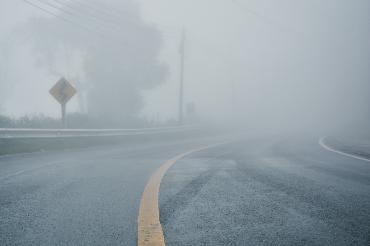
The National Weather Service (NWS) has issued a "dense fog" advisory for parts of Texas and Louisiana, urging drivers to take precautions.
The advisory was published at 4 a.m. CDT on Friday and remains in effect until 10 a.m. CDT this morning.
NWS Lake Charles, Louisiana, said visibility could be reduced to one quarter-mile or less in dense fog. The advisory applies to portions of central, south-central, southwest and west-central Louisiana, as well as southeast Texas.
The NWS said low visibility could make driving conditions "hazardous." As a precaution, the service urged people to "slow down," use headlights and leave plenty of distance ahead if driving through dense fog. Allowing extra time to reach your destination is encouraged, the NWS added.
The advisory applies specifically to the following Texas counties and Louisiana parishes:
Vernon, Rapides, Avoyelles, Beauregard, Allen, Evangeline, St. Landry, Lafayette, Upper St. Martin, Lower St. Martin, West Cameron, East Cameron, Northern Calcasieu, Northern Jefferson Davis, Northern Acadia, Upper Vermilion, Upper Iberia, Upper St. Mary, Southern Calcasieu, Southern Jefferson Davis, Southern Acadia, Lower Vermilion, Lower Iberia, Lower St. Mary, Tyler-Hardin, Northern Jasper, Northern Newton, Southern Jasper, Southern Newton, Upper Jefferson, Northern Orange, Lower Jefferson and Southern Orange.
An NWS forecast, valid from Friday to Sunday, paints a picture of weather events occurring across the rest of the country over the next couple of days.
"A wave of low pressure over the Middle Mississippi Valley will move northeastward off the Northeast Coast by Saturday evening. The system will produce showers and thunderstorms over parts of the Middle Mississippi/Ohio Valleys through Friday evening," the NWS said in the forecast. "The system will also create rain over parts of the Great Lakes through Saturday afternoon."

"Overnight Friday, scattered rain will develop over parts of the Northeast through early Sunday morning. Moreover, scattered rain will develop along the front over the Southern mid-Atlantic from Saturday evening into Sunday. Rain will also grow over parts of the Lower Mississippi Valley from early Saturday into Sunday."
Meanwhile, a weather front will move onshore over the Pacific Northwest Friday night and inland through Sunday morning, according to the forecast.
"The storm will produce rain over parts of the Pacific Northwest late Friday night. The rain will continue to inch farther inland on Saturday, moving into Northern California late Saturday night and continuing into Sunday," the NWS said.
"Elsewhere, onshore flow off the Atlantic will trigger scattered rain over parts of Florida from Saturday afternoon into Sunday."


 English (US) ·