A forecast map from the National Weather Service (NWS) has highlighted the areas of the San Francisco Bay Area that are potentially at risk for "minor" coastal flooding on Monday.
Newsweek has reached out to the NWS via email for comment on Monday afternoon.
Why It Matters
According to the Bay Area Council Economic Institute, the population of the Bay Area exceeds 7 million people. The NWS's advisory warned that the coastal flooding could have potential impacts to roads and travel.
What To Know
According to the NWS, a coastal flood advisory is issued when "minor or nuisance coastal flooding is occurring or imminent."
NWS's map from Sunday shows the affected areas that include Bayshore locations along the San Francisco Bay and San Pablo Bay, from 7 a.m. to 1 p.m. local time Monday. This included San Francisco, Oakland, Hayward, Palo Alto, Berkeley, Petaluma, and Santa Rosa.
The service noted that high tide at San Francisco will be 6.72 feet at 10:13 a.m. local time Monday.
The NWS warned of flooding of lots, parks and roads, adding that only isolated road closures were expected. The service advised that if travel was required, locals should give themselves extra time.
"Do not drive around barricades or through water of unknown depth," the NWS said in its advisory, adding: "Take the necessary actions to protect flood-prone property."

What Happens Next
The NWS also put out on Sunday a wind advisory for the North Bay Interior Mountains from 2 a.m. Monday to 10 a.m. Tuesday local time. The NWS said people can expect north to northeast winds of 25 to 35 miles per hour, with gusts up to 55 mph (stronger in the higher elevations).
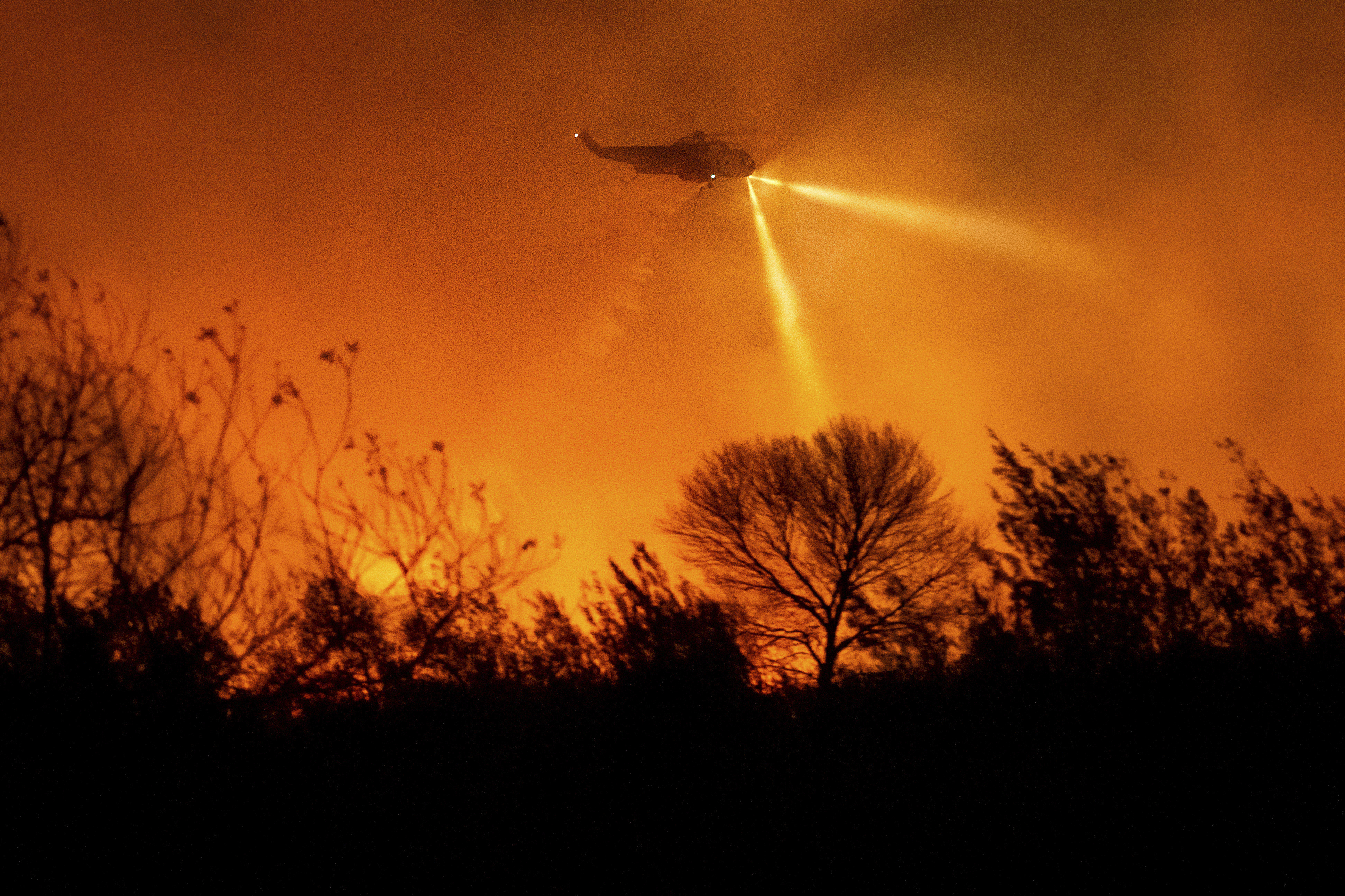
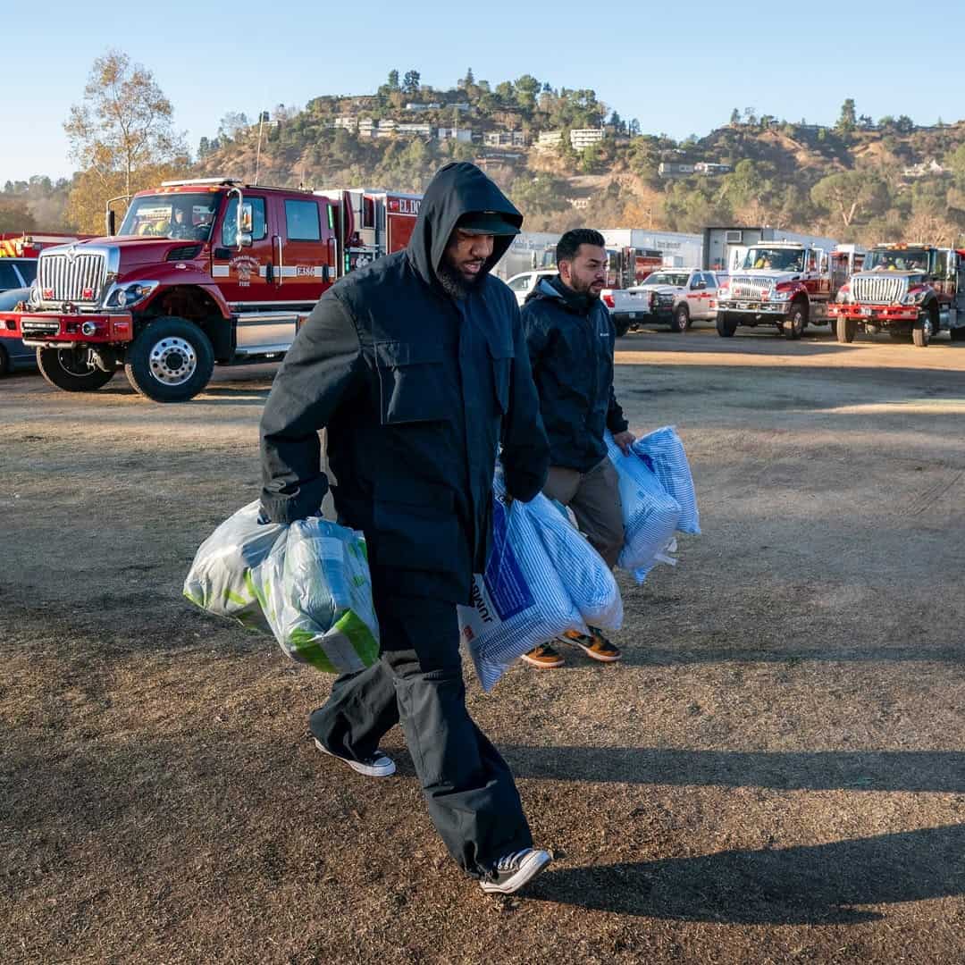
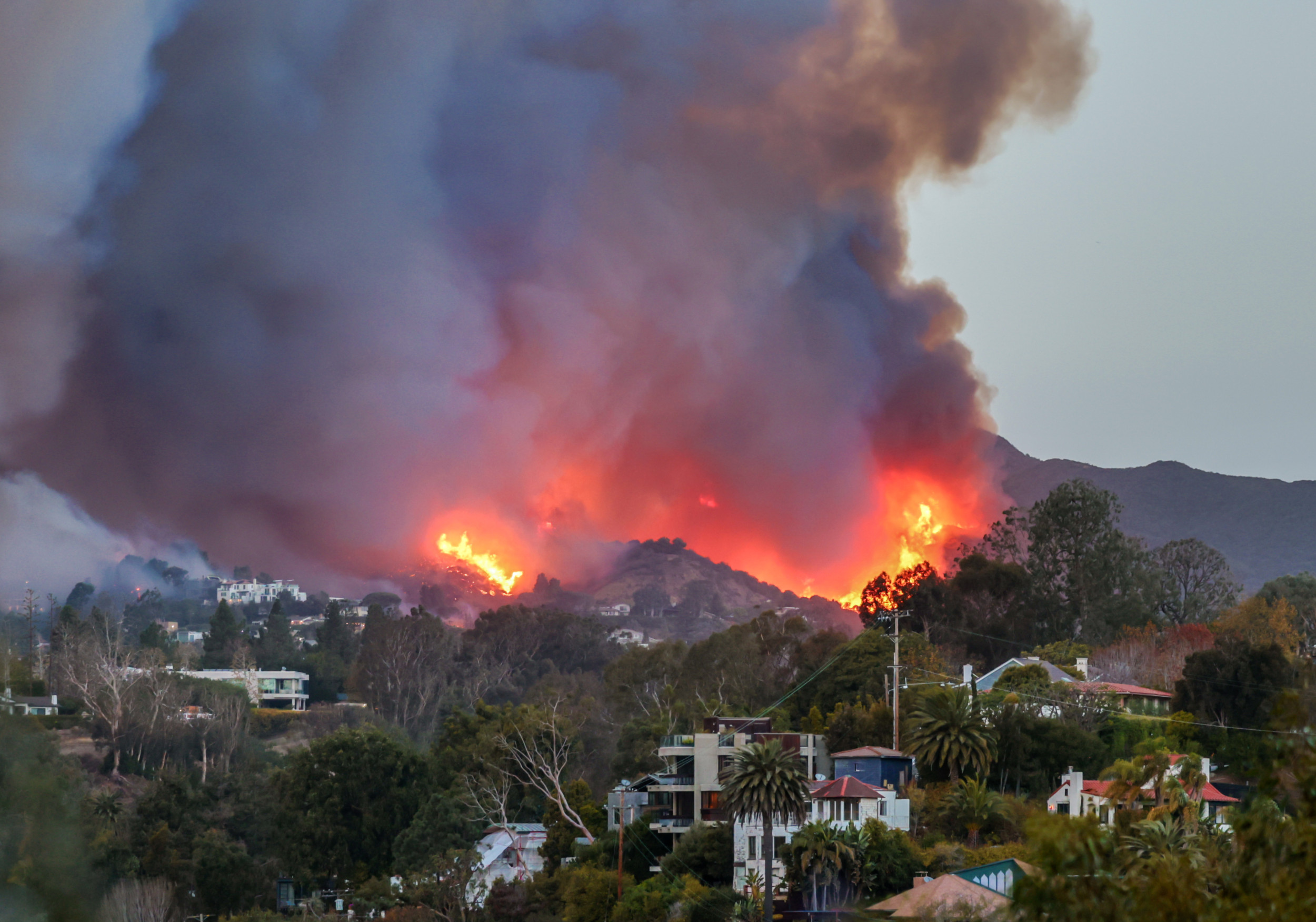
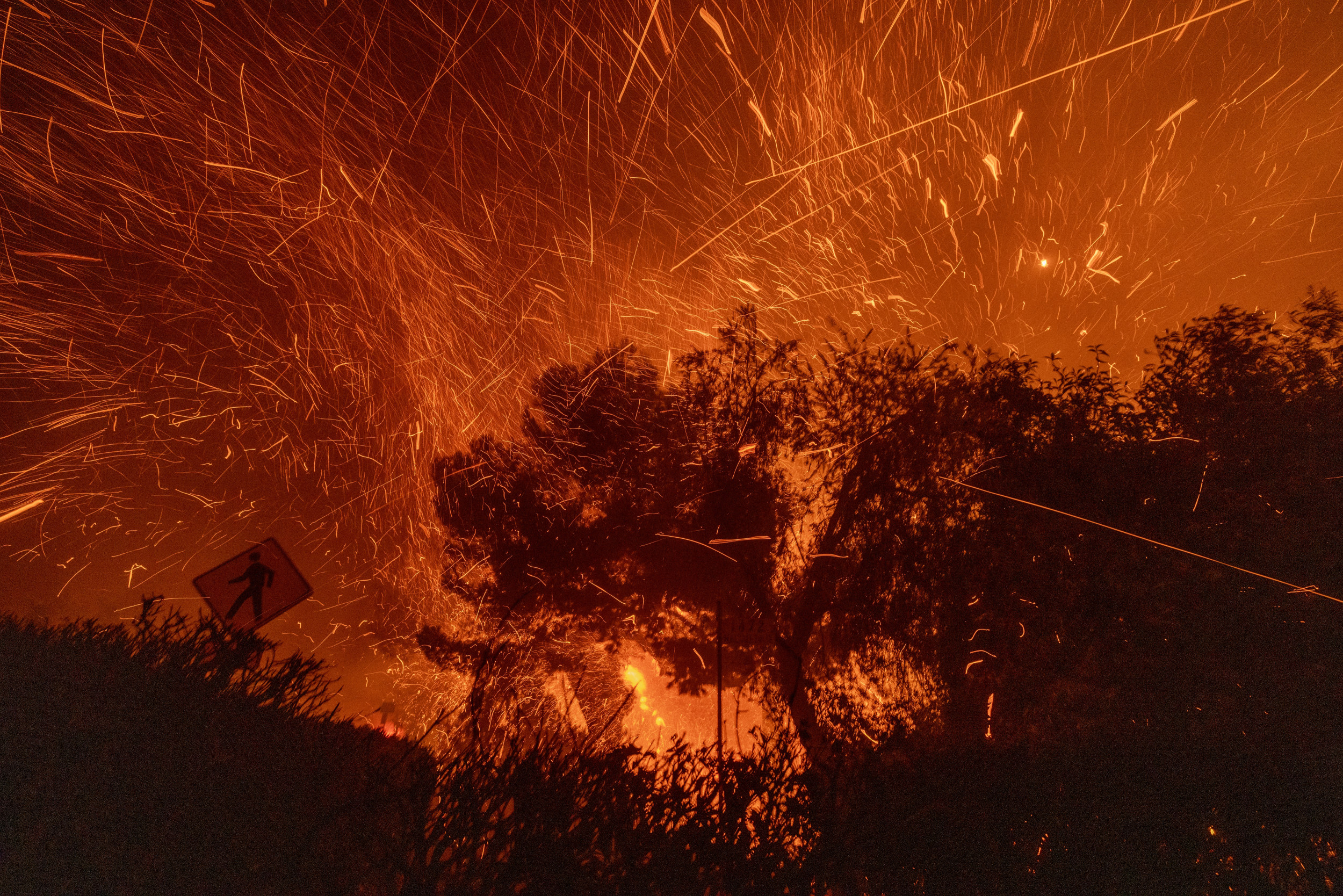
Elsewhere in California, firefighters have been battling multiple wildfires in Los Angeles prompted by strong Santa Ana winds.
The NWS has also warned of yet another round of winds, with multiple counties in Southern California under red flag warnings as of early Monday, which include parts of San Luis Obispo, Santa Barbara, Ventura, Los Angeles, San Bernadino, Orange, Riverside, and San Diego.
At least 24 people in the Los Angeles area have died and thousands of homes have been destroyed by the fires.
Fire behavior analyst Dennis Burns warned at a community meeting Sunday night that Tuesday will be the most dangerous day when it comes to winds, the Associated Press reported.
Do you have a story we should be covering? Do you have any questions about this article? Contact LiveNews@newsweek.com.






 English (US) ·