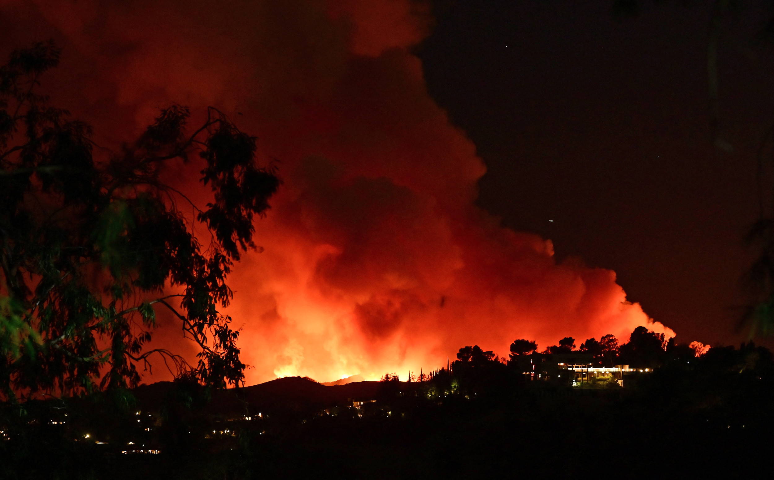
Hurricane Rafael made landfall in the Cuban province of Artemisa on Wednesday evening as a Category 3 hurricane after it caused power outages and flooding in its trek past Jamaica and the Cayman Islands earlier in the day.
Rafael became a hurricane on Tuesday night, and the storm achieved major hurricane status on Wednesday before it made landfall in Cuba at 4:15 p.m. Eastern time. As of the most recent National Hurricane Center (NHC) update on Wednesday afternoon, Rafael had maximum sustained winds of 115 mph. It will likely weaken as it moves over Cuba but emerge in the Gulf of Mexico and maintain hurricane status on Wednesday night.
Where Is Hurricane Rafael Now?
The NHC update found that Rafael's center was located near latitude 22.6 north, longitude 82.7 west, near western Cuba, though the storm appears to be passing through Havana in more recent footage. The storm was moving northwest at around 13 mph.
"A general northwestward motion is anticipated tonight," the NHC said. "A slower west-northwestward to westward motion is expected Friday through the weekend. On the forecast track, Rafael is expected to cross Cuba this evening, and emerge over the southeastern Gulf of Mexico later this evening or tonight. Rafael is forecast to move over the southern Gulf of Mexico this weekend."
Cuban officials canceled flights in Havana and Varadero in advance of the storm's arrival, and thousands of people were evacuated, the Associated Press reported.
Forecasts originally showed Rafael moving toward Louisiana upon its exit into the Gulf of Mexico, but the storm path has now shifted, directing the storm more toward southern Texas and eastern Mexico.
Rafael Wind Gust Tracker
Strong winds associated with the storm caused power outages in Cuba earlier in the day, and upon its arrival Rafael brought an array of other threats to the island.
"Rafael is forecast to cross western Cuba as a major hurricane this afternoon and evening. A hurricane warning is in effect for this region, where a life-threatening storm surge, damaging hurricane-force winds, and destructive waves are expected," the NHC said.
Even before the hurricane made landfall, tropical storm–force winds were reported in Cuba.
Hurricane warnings were in place for the Cuban provinces of Pinar del Rio, Artemisa, La Habana, Mayabeque, Matanzas and the Isle of Youth. Tropical storm warnings extended to the Cuban provinces of Villa Clara and Cienfuegos; the Lower and Middle Florida Keys from Key West to west of the Channel 5 Bridge; and the Dry Tortugas.
Rafael Rain Tracker
Heavy rain associated with the storm is expected to inundate the western Caribbean through early Thursday, the NHC forecast said. The worst of the rain will hit the Cayman Islands and Cuba.
"Rainfall totals of 4 to 8 inches are expected across portions of western Cuba, with isolated higher totals up to 12 inches in areas of higher terrain. This will lead to areas of flash flooding and mudslides," the forecast said.
An additional 4 inches of rain could fall across the Cayman Islands.
Rain also could hit the U.S., with 1 to 3 inches expected to fall in the Lower and Middle Florida Keys.
Rafael Satellite Tracker
Satellite imagery showed the storm churning over Havana on Wednesday night as it passed through Cuba.
Will Rafael Hit the U.S.?
Aside from the Florida Keys, U.S. impacts aren't expected to occur until early next week.
"Rafael is forecast to meander over the south-central Gulf of Mexico this weekend and early next week," the NHC said. "Interests in the southern and southwestern Gulf of Mexico should monitor the progress of this system."
Rafael is expected to maintain hurricane status as it enters the Gulf of Mexico, but its long trek across the Gulf could weaken the storm below tropical storm status, NHC spokesperson Erica Grow Cei told Newsweek. Gulf waters are below the 80-degree Fahrenheit threshold for hurricanes, Grow Cei said.
Strong wind shear in the region could tear the storm apart before it nears Texas.
Should the storm make Texas landfall at tropical storm status or stronger, it would be the first time a storm of that nature has made landfall in the state during November.


 English (US) ·