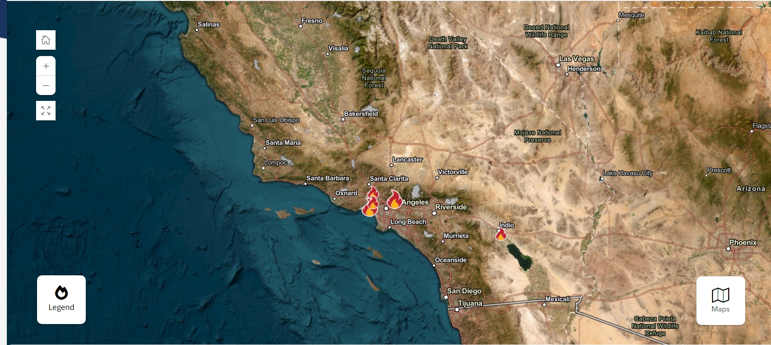
Ripping brush fires erupted Tuesday in Southern California amid punishing wind gusts, prompting evacuation orders in multiple zones.
The Context
The wildfires were initially estimated to engulf around 200 acres, but officials later said the flames had spread to 771.6 acres.
Evacuation orders were first issued for one zone, shown below in red, as Los Angeles officials warned of an "immediate threat to life."

Through the afternoon, officials issued evacuation orders for several more zones as firefighters worked to contain the blaze.

By 5:32 p.m. ET Tuesday, the fire had spread from 200 acres to more than 771.

What To Know
A massive amount of firefighting resources were quickly deployed to contain the blaze, and at one point, there were nearly a dozen planes attacking the wildfire. The mayor's office said that around 140 Los Angeles Police Department officials have been assigned to help with traffic gridlock and evacuations.
An evacuation order is issued when there is an "immediate threat to life" in an area, city officials said, adding that "this is a lawful order to LEAVE NOW." As of Tuesday afternoon, the following zones were under full evacuation orders:
- LOS-Q0767
- MAL-C111-B
- SSM-U010-A
- SSM-U010-B
The following zones were placed under evacuation warnings, as officials said there was a "potential threat to life and/or property" and that "those who require additional time to evacuate, and those with pets and livestock should leave now":
- MAL-C111-A
- RMB-U030-A
- TOP-U007
- TOP-U008
- TOP-U009
The National Weather Service issued a rare red flag warning for the fire, indicating "warm temperatures, very low humidities, and stronger winds that can combine to produce an increased risk of fire danger."
The blaze was exacerbated by intense winds, and one meteorologist warned the Palisades fire was a "near worst-case scenario" as gusts swept the blaze into multiple neighborhoods. Some gusts could reach up to 100 mph, which is equivalent to the strength of a Category 2 hurricane.
It's not yet clear what caused the fire.
What People Are Saying
Los Angeles Fire Department (LAFD) Public Information Officer Erik Scott said on X: "We want evacuees to head Southbound on Palisades Drive to Westbound Sunset Blvd. to Southbound Pacific Coast Highway."
Los Angeles Mayor Karen Bass issued a statement saying the LAFD had prepared for high winds: They "pre-deployed strike teams in and near areas prone to wildfire. Firefighters are now actively and aggressively responding to the #PalisadesFire with support from regional partners."
This is a developing story and will be updated as more information becomes available.









 English (US) ·