New satellite images from Maxar Technologies show areas of vegetation that have been miraculously spared from the raging Southern Californian wildfires.
Newsweek reached out to California's Department of Forestry and Fire Protection (CAL FIRE) via email for comment.
Why It Matters
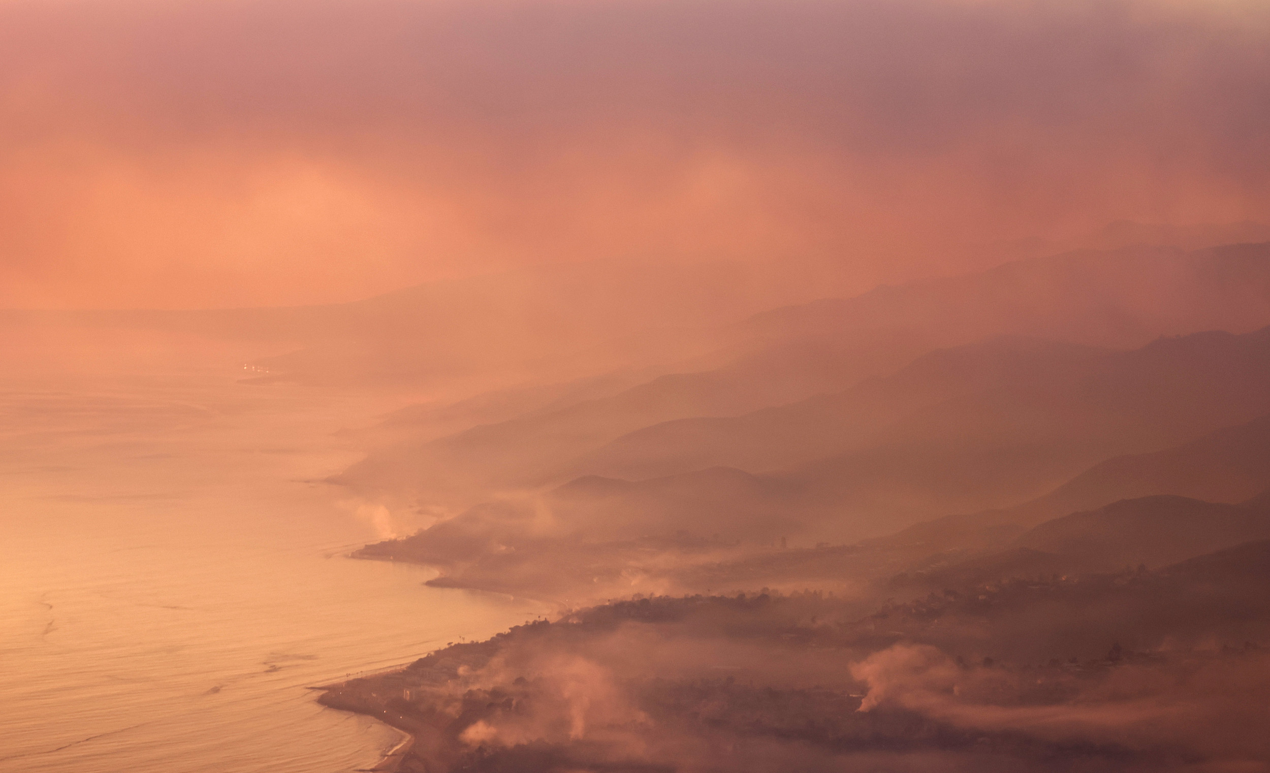
The Pacific Palisades fire, the most destructive wildfire in Los Angeles history, has scorched nearly 20,000 acres, according to CAL FIRE's latest figures, but as the images show, some areas of land and structures have managed to escape the flames.
What To Know
The images shared with Newsweek by Maxar Technologies were collected using a multispectral color infrared sensor, highlighting areas that have been spared from the fire alongside the damaged and burned regions.
In the images on the left in each pair, burned areas appear in shades of black and gray, while healthy areas are in shades of red and pink. The images on the right of the pairs have been taken without the infrared sensor.
It is thought that the strong Santa Ana winds that hit Southern California on Tuesday and Wednesday contributed to the rapid fire spread.
The National Park Service says more than 85 percent of wildfires are caused by human activity, where flames can start from unattended campfires, burning debris, equipment use and malfunctions, discarded cigarettes and arson, among other reasons.
Fires also can start from natural causes, such as lightning strikes, and power lines can cause wildfires.
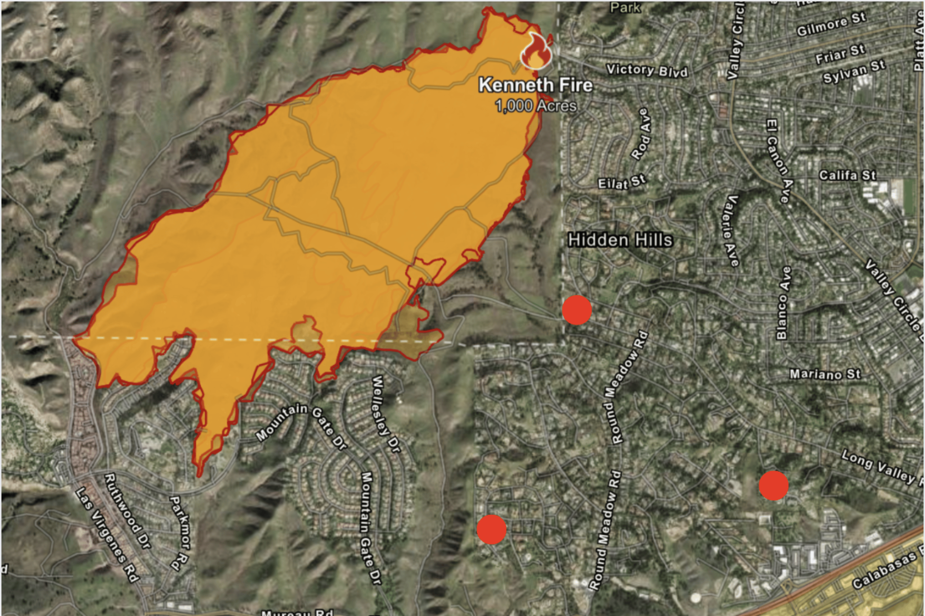
The Palisades fire, the Eaton fire and the Hurst fire all started on Tuesday, the Lidia fire on Wednesday, and the Kenneth fire on Thursday.
It was also reported that another fire broke out on Wednesday afternoon in Hollywood Hills, the Sunset fire.
What People Are Saying
Frank Flocke, a senior scientist at NSF National Center for Atmospheric Research (NCAR), told Newsweek: "The variability of winds on a fine scale due to terrain or obstacles" could be part of the reason some areas of vegetation have avoided being burned.
He added that "tree type, soil moisture, water availability or vegetation proximity to a creek" might also be at play.
NSF NCAR scientist Janice Coen told Newsweek that the burn pattern could have formed because the wind "whipped flames spreading from building to building" rapidly rather than moving slowly, "residing long enough to ignite everything."
NSF NCAR scientist Maria Frediani told Newsweek, "Because this is an urban environment, the flow near the surface is largely influenced by the local infrastructure."
"You combine this with the fire-generated weather, and the result is a heterogeneous burn pattern," she added.
Concerning how some buildings appear to have been spared from the flames, Frediani said, "How they are built, and the surrounding vegetation can help deter, or facilitate, ember accumulation and new ignitions."
What's Next
Firefighters are still working to contain the fires, with the Palisades fire now at 8 percent containment, the Eaton fire at zero percent containment, the Kenneth fire at 35 percent containment, the Hurst fire at 37 percent containment and the Lidia fire at 75 percent containment, according to CAL FIRE's figures.


 English (US) ·